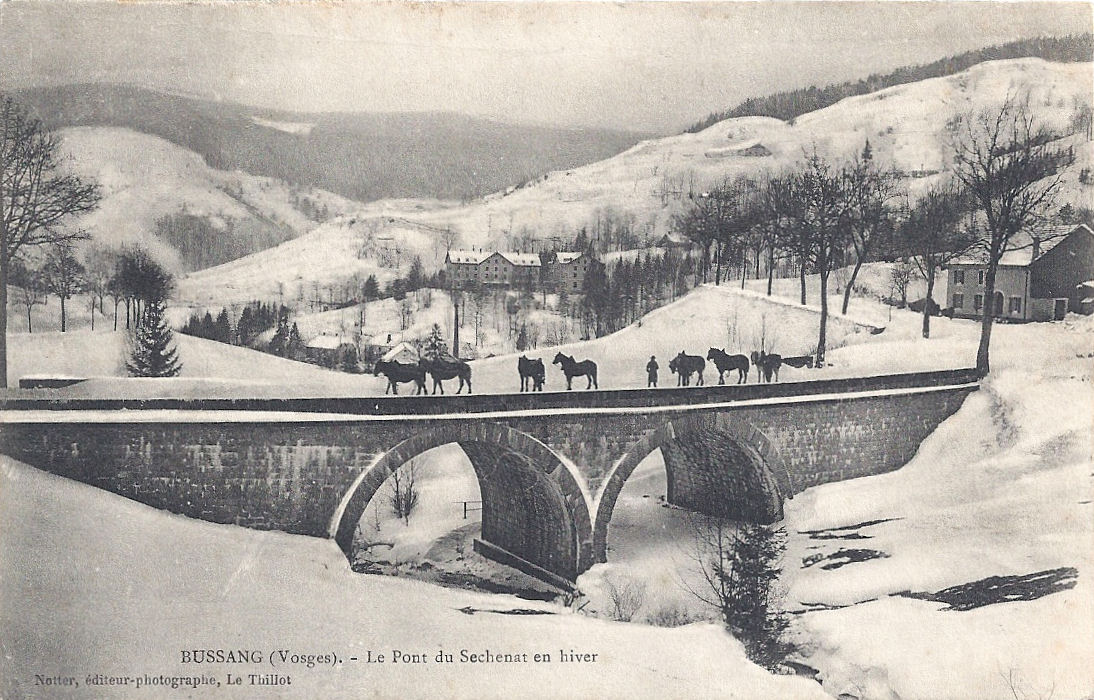
The Tour de France in the Vosges and Alsace passes some of the most historically interesting parts of the area, places significant in the period before the Great War when Alsace and Lorraine were under German occupation and sites of sadness and commemoration afterwards. Postcard writers, travellers, tourists and soldiers, sent innumerable cards home from the Vosges. This is a small selection from my own collection, following the route of the Tour in two parts, Stage 9 and Stage 10.
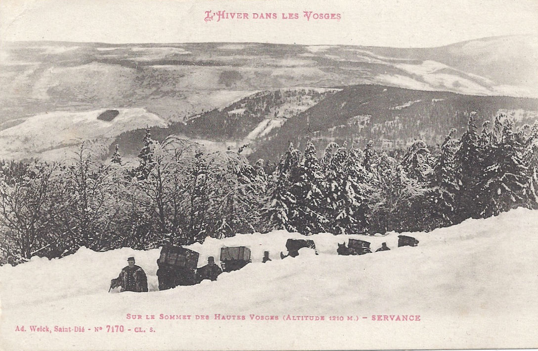
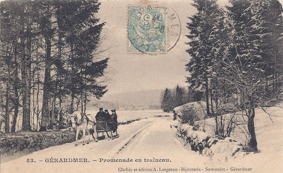
Gérardmer
A German shell on display in Gérardmer:

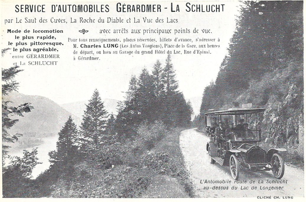
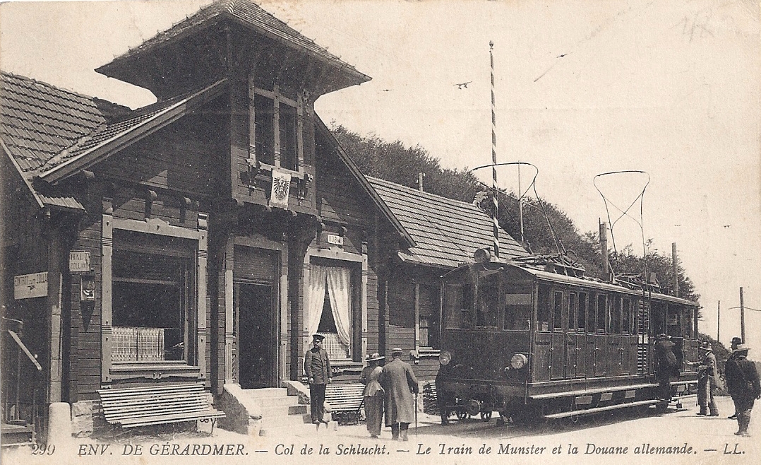
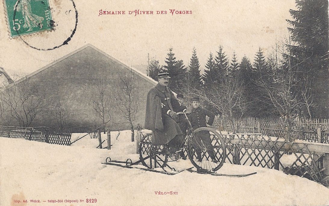
Travelling in style from Gérardmer to Col de la Schlucht:

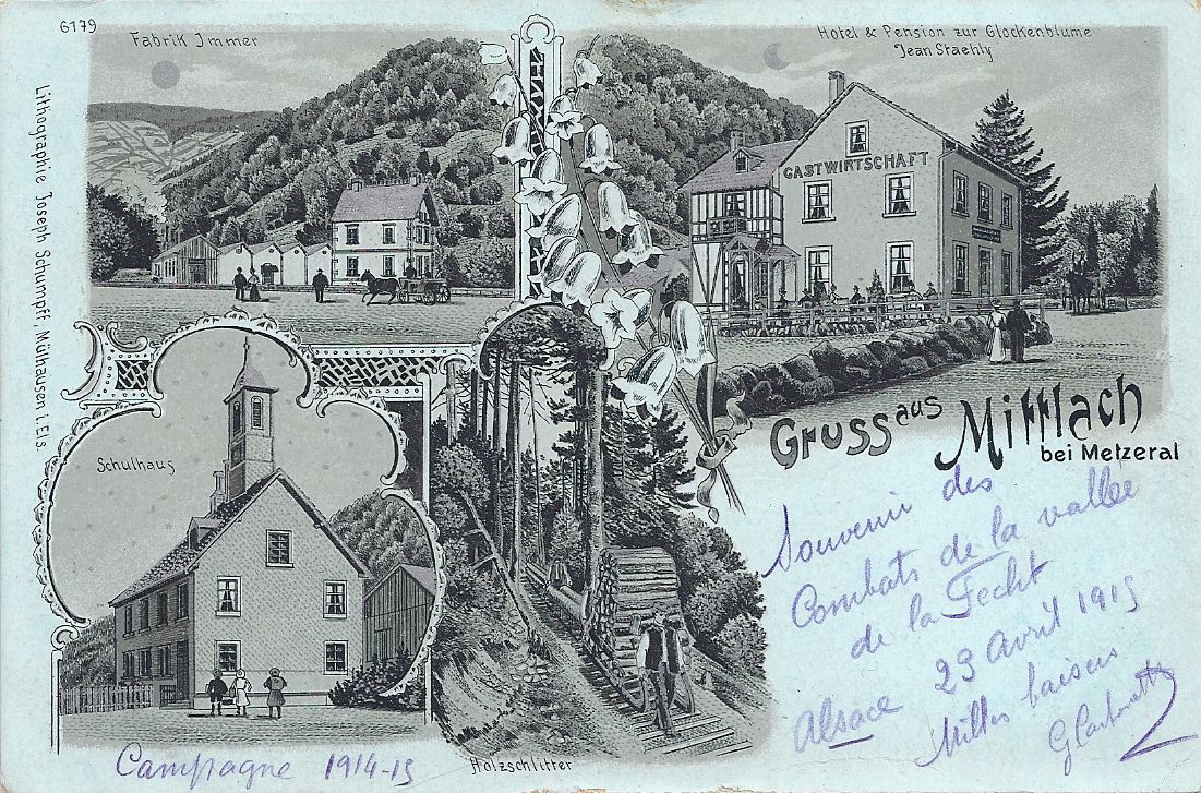
Xonrupt-Longemer to La Roche du Diable
Le Tunnel de la Roche de Diable:

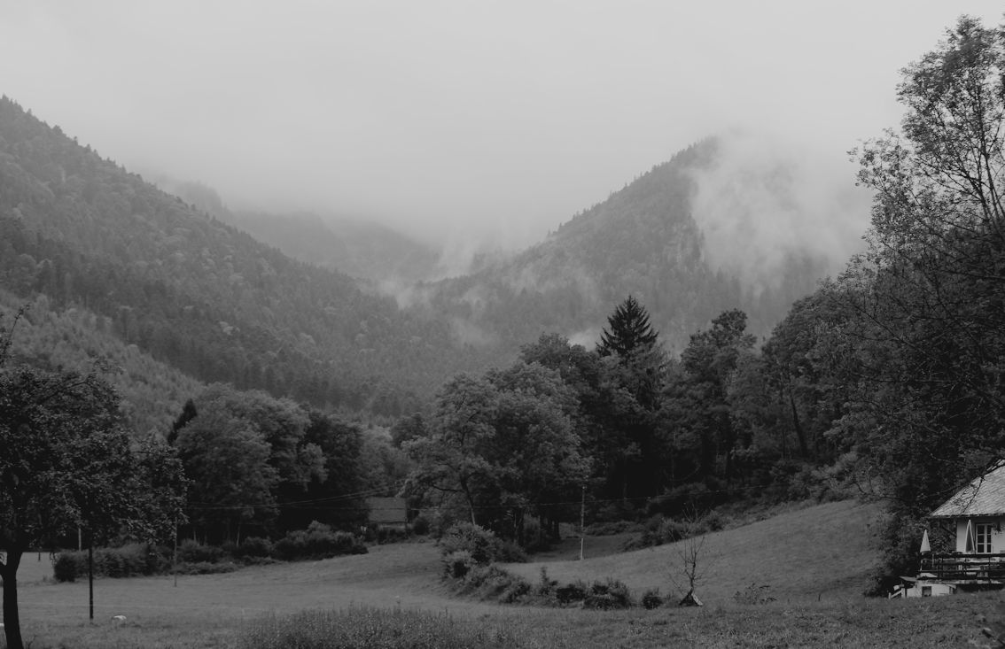
Le Collet
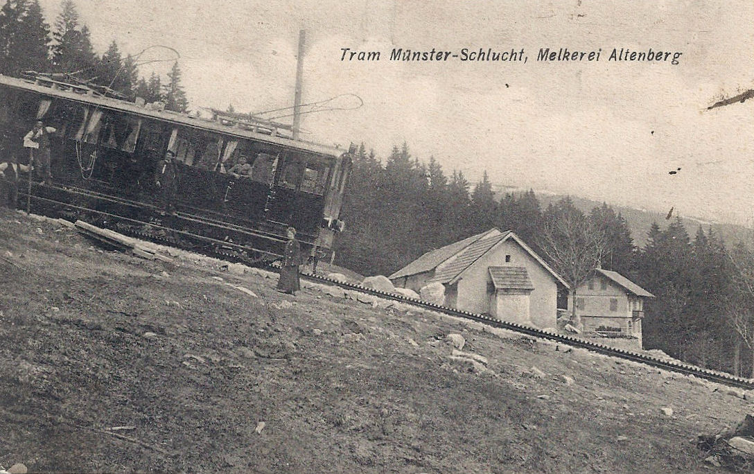
The tramway from Gérardmer up to Col de la Schlucht, close to le Collet. The tram line was used for military transport during the Great War. The embankments and the path of the tramway can still be seen.

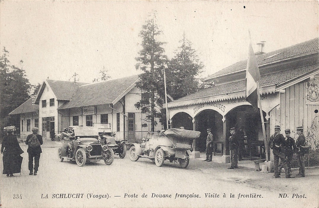
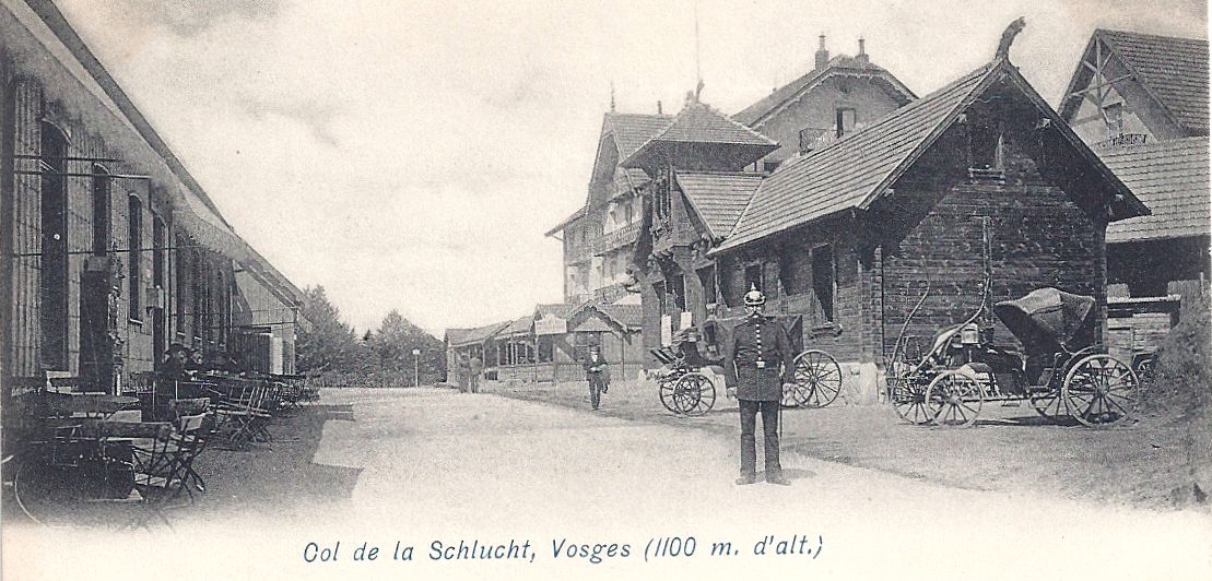
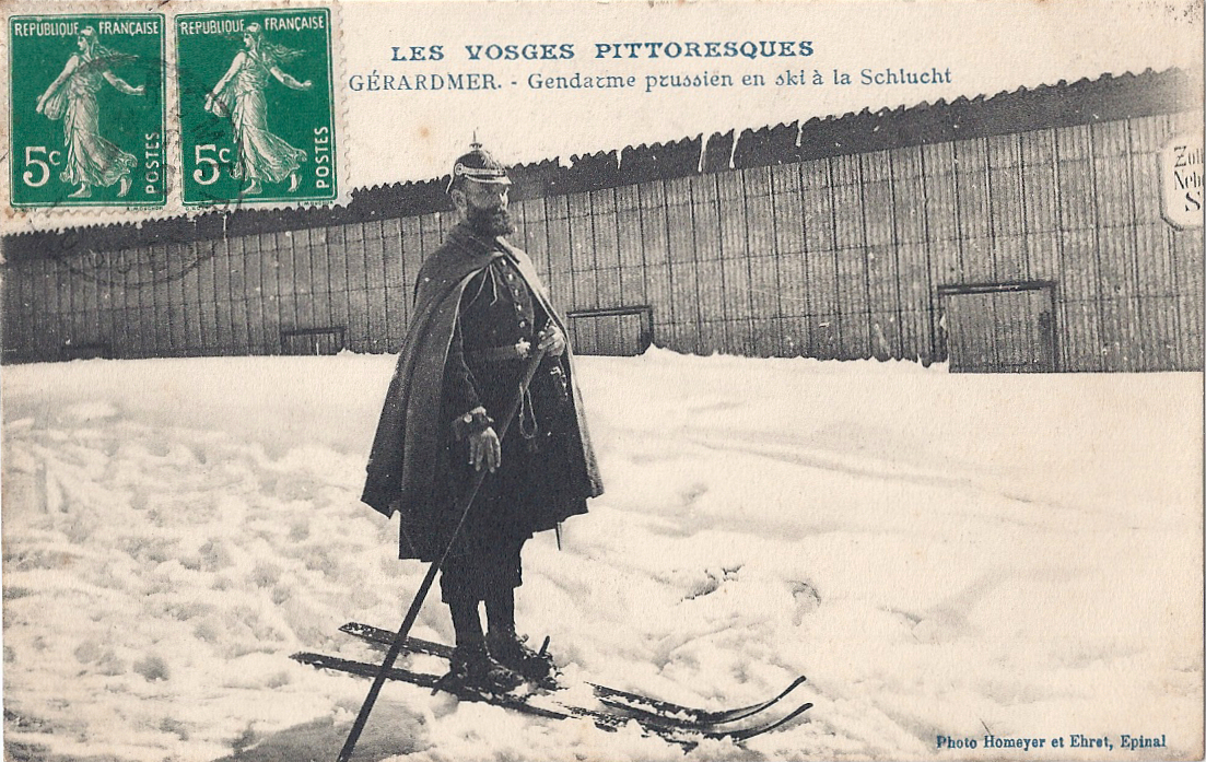
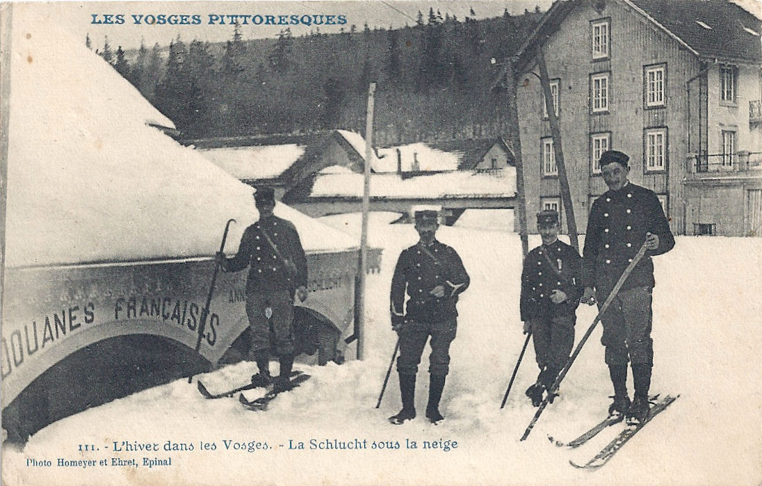
Col de la Schlucht (1140 m) This was a busy destination on the frontier between France and Alsace (annexed to Germany, 1871). The original bornes frontières (boundary stones) can still be traced following the frontier up the hillside, marked with F on the French side and D on the German.
The German side of the frontier with a customs officer:

French customs:

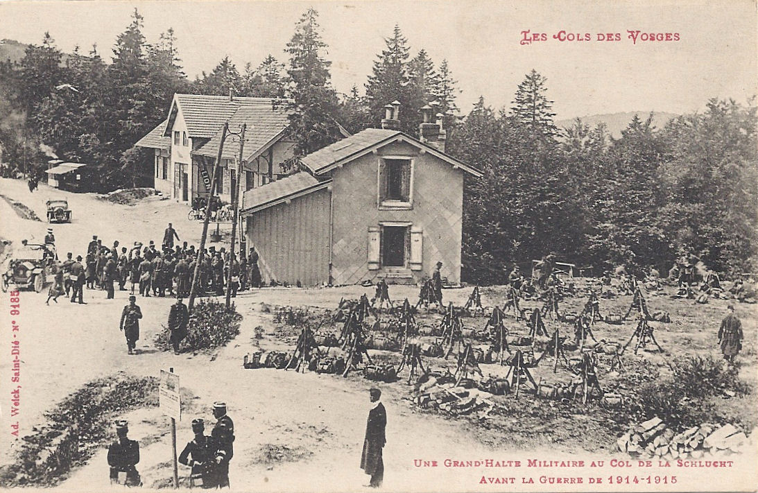
A military halt at Col de la Schlucht before the Great War:

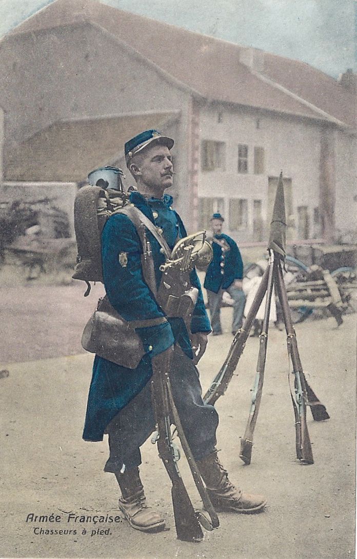
Chasseur à Pied at Col de la Schlucht, posted 1907:

The Hotel Français in ruins, posted 1917. (The Hotel is the furthest building on the right hand side of the road in the first picture.)

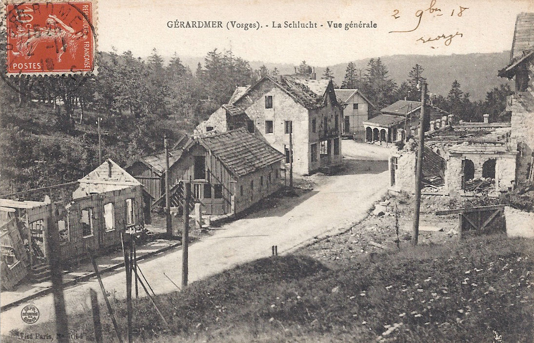
Col de la Schlucht in ruins, posted 1918:

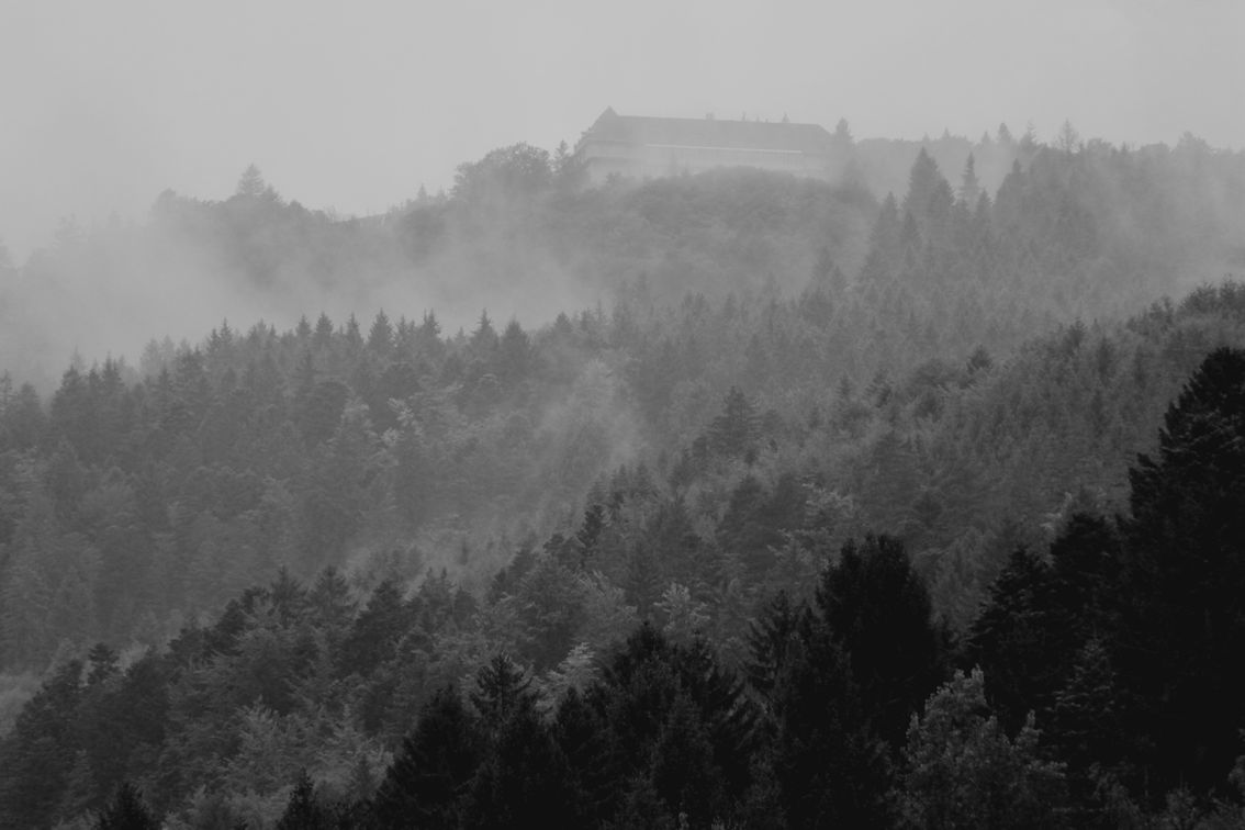
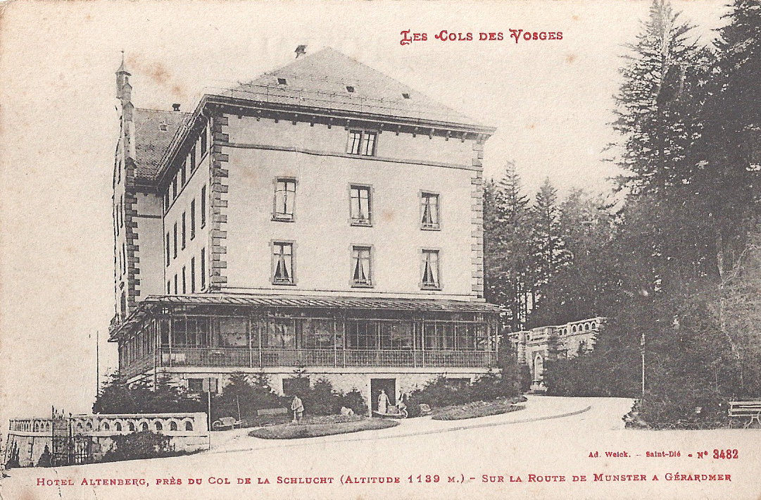
The grand Hotel Altenberg, which hosted many international royals, politicians and celebrities before the war:

The Hotel Altenberg after the war (rebuilt as a hospital, now semi-derelict):

Station du Lac Blanc
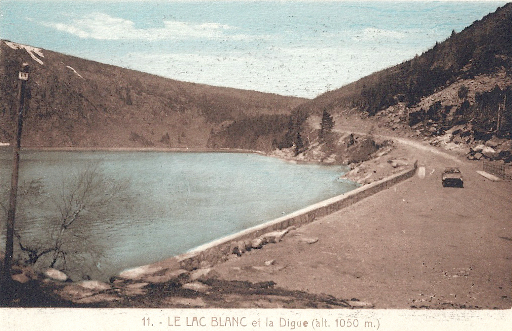
Lac Blanc in peaceful times:

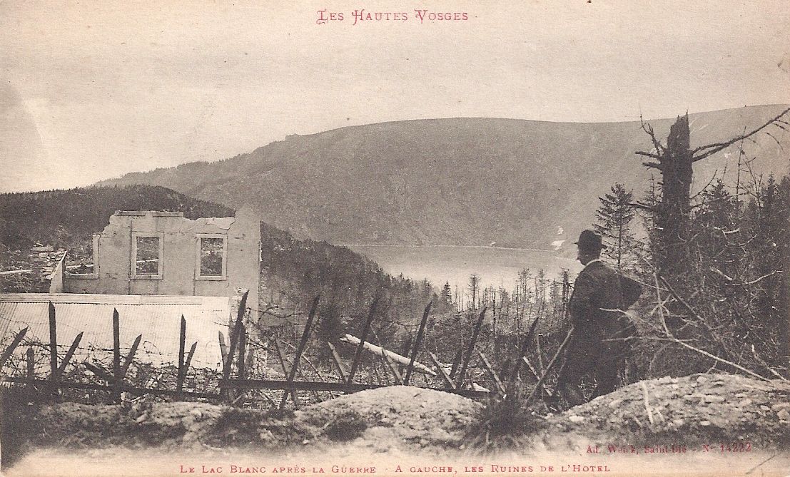
The 1914 mountain battleground of la Tête des Faux overlooks Lac Blanc and towards the villages of Orbey and Lapoutroie. Lac Blanc after the Great War, the hotel in ruins:

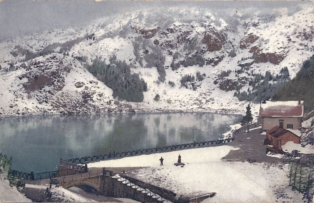
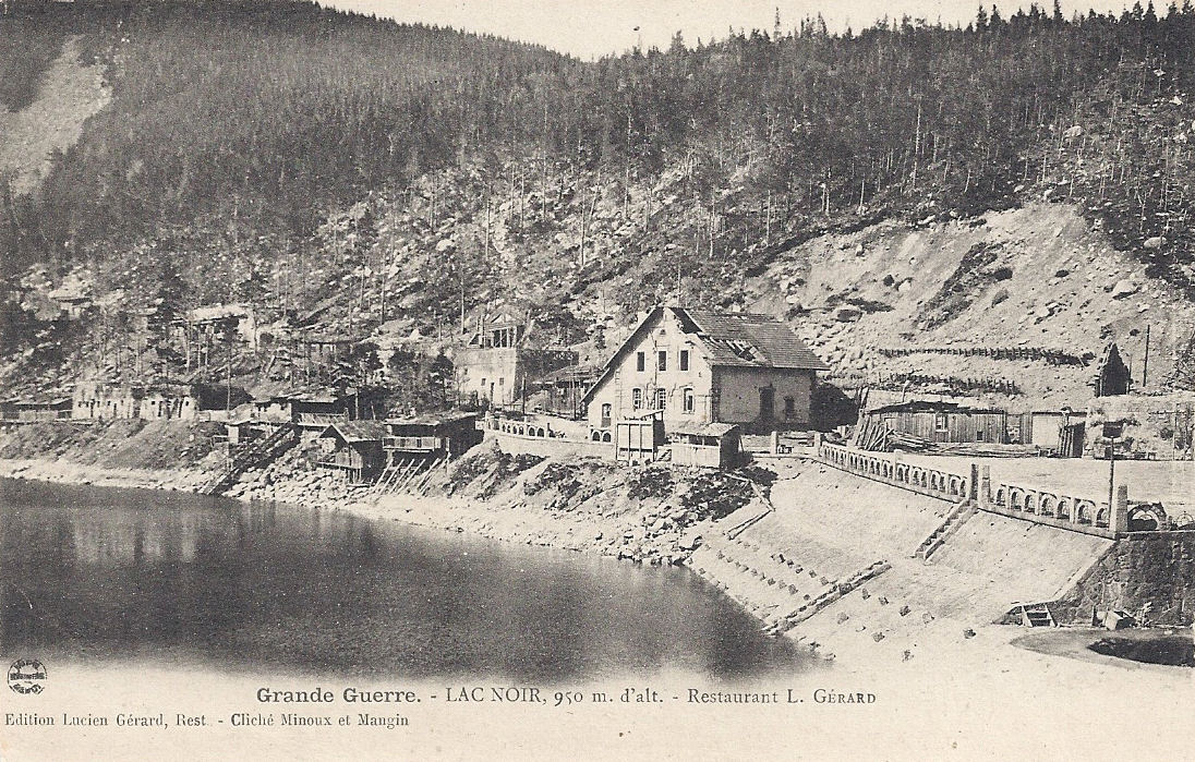
Basses-Huttes – the Tour does not visit Lac Noir, but goes close. Lac Noir was a peaceful destination with a popular restaurant. During the Great War, it was used as a place of shelter: Gen Pouydraguin had his headquarters here. The small single storey buildings to the left of the lower picture were used as a hospital. They have recently been demolished. The restaurant was rebuilt and remains busy.


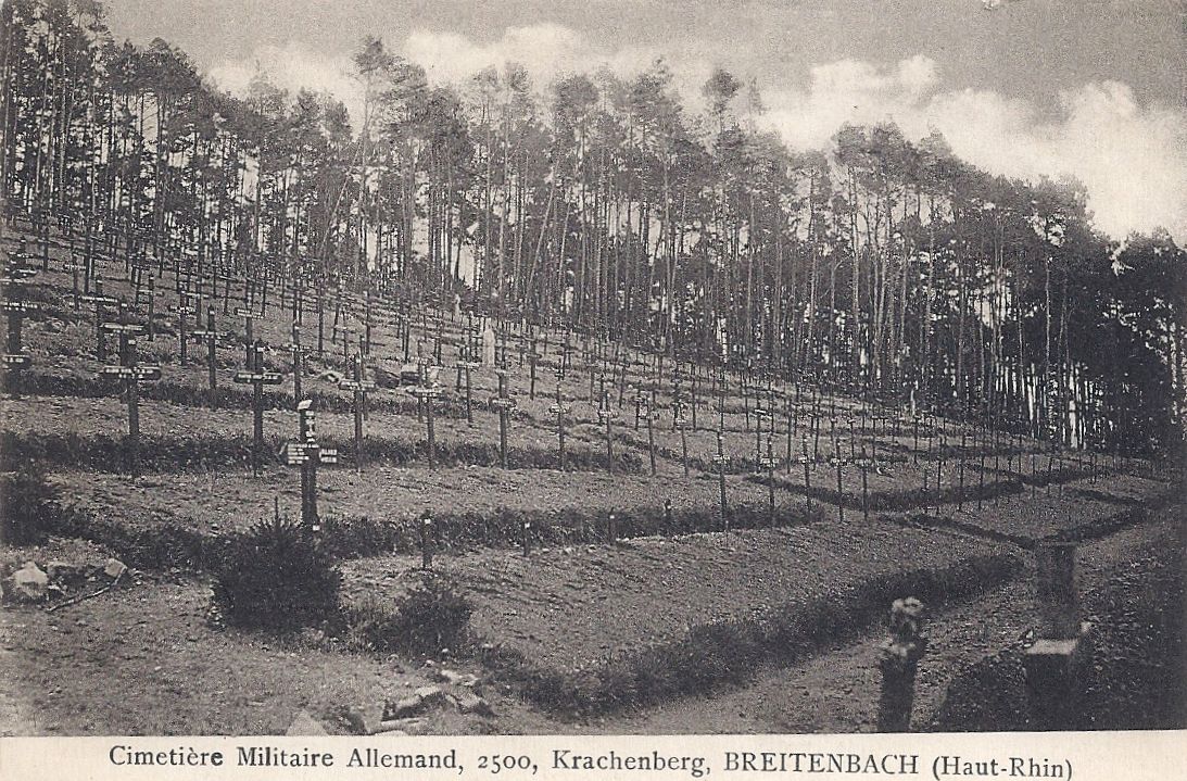
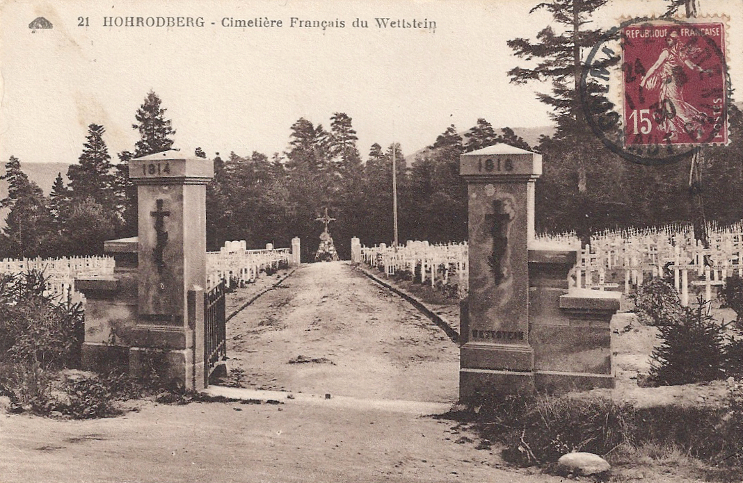
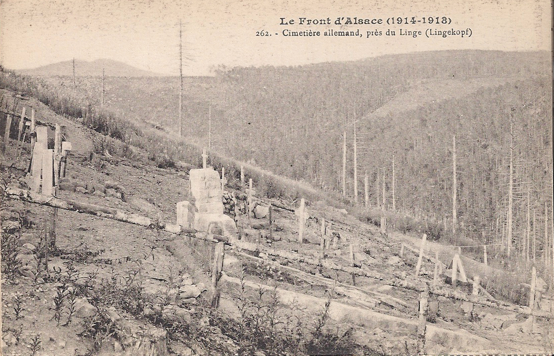
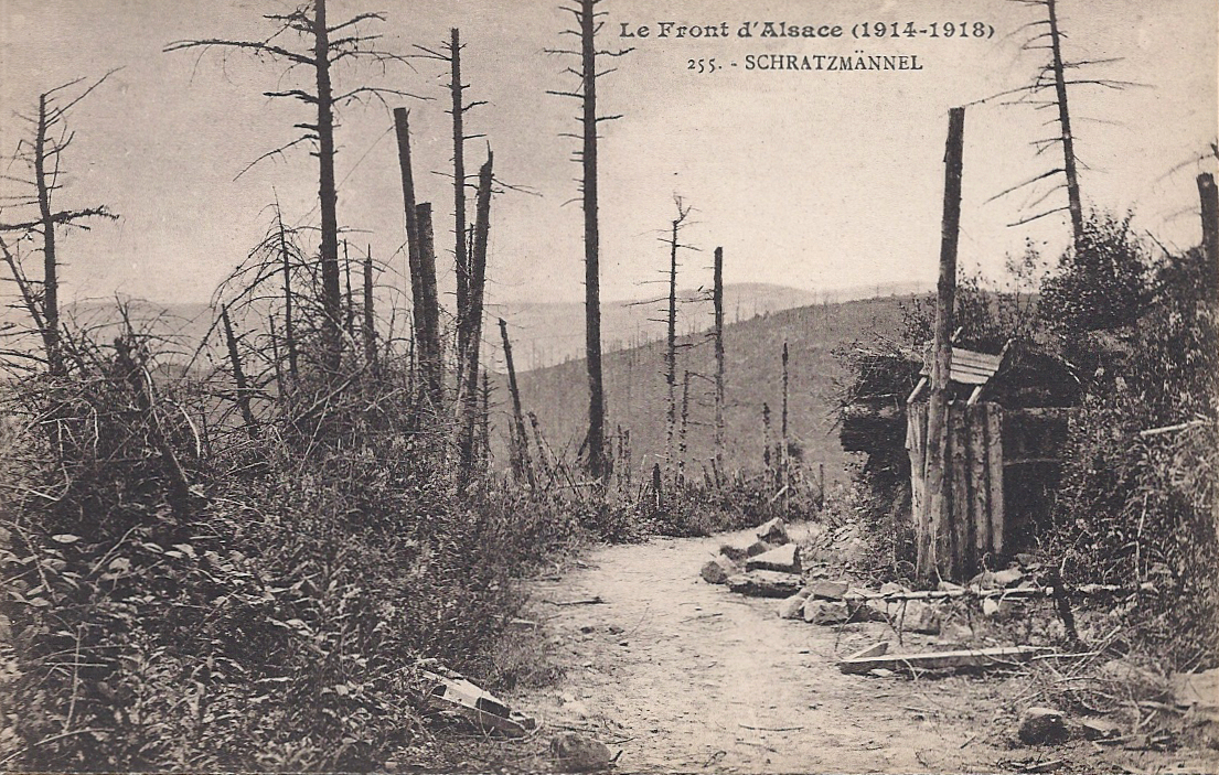
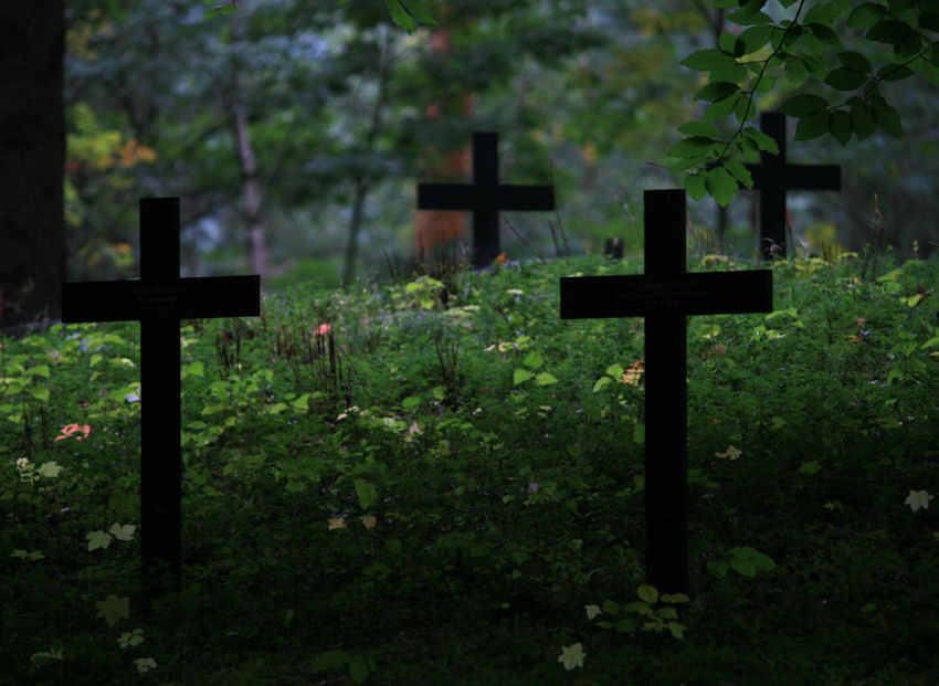
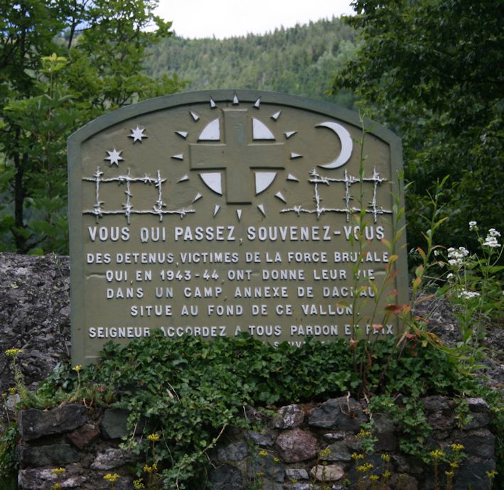
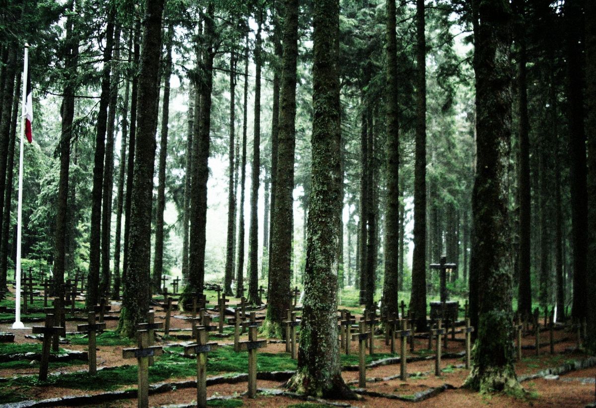
Col du Wettstein (880m) The Tour enters one of its most sobering stages. 17000 men, including 10000 Chasseurs, died at le Linge between July 20th and October 15th, 1915. The French dead of le Linge, Schratzmännele and Barrenkopf lie in the great cemetery at the Col du Wettstein.
Two early postcards of the great French cemetery:


An image posted in 1930:

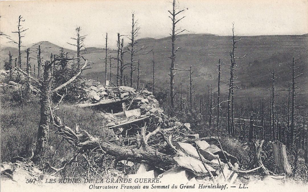
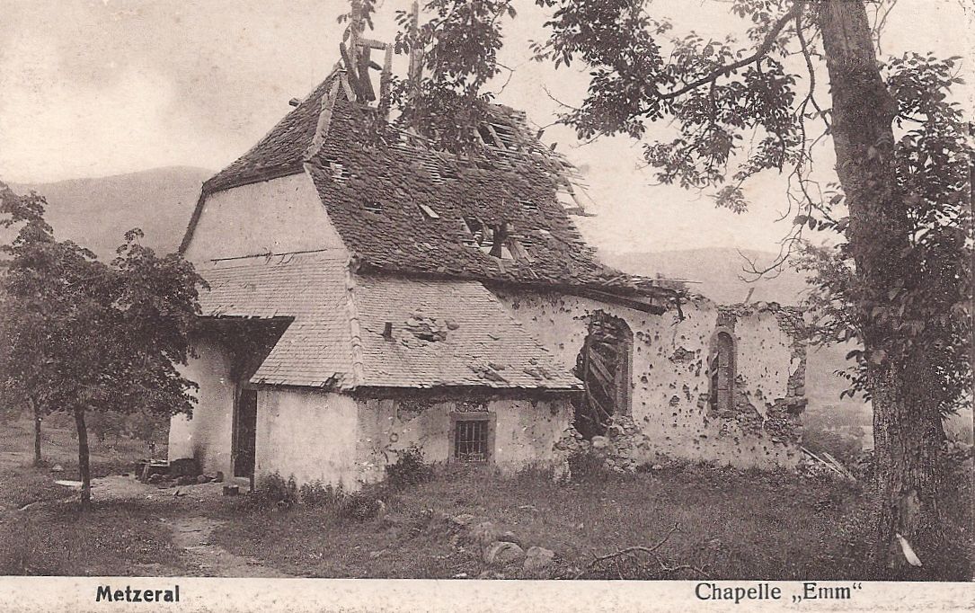
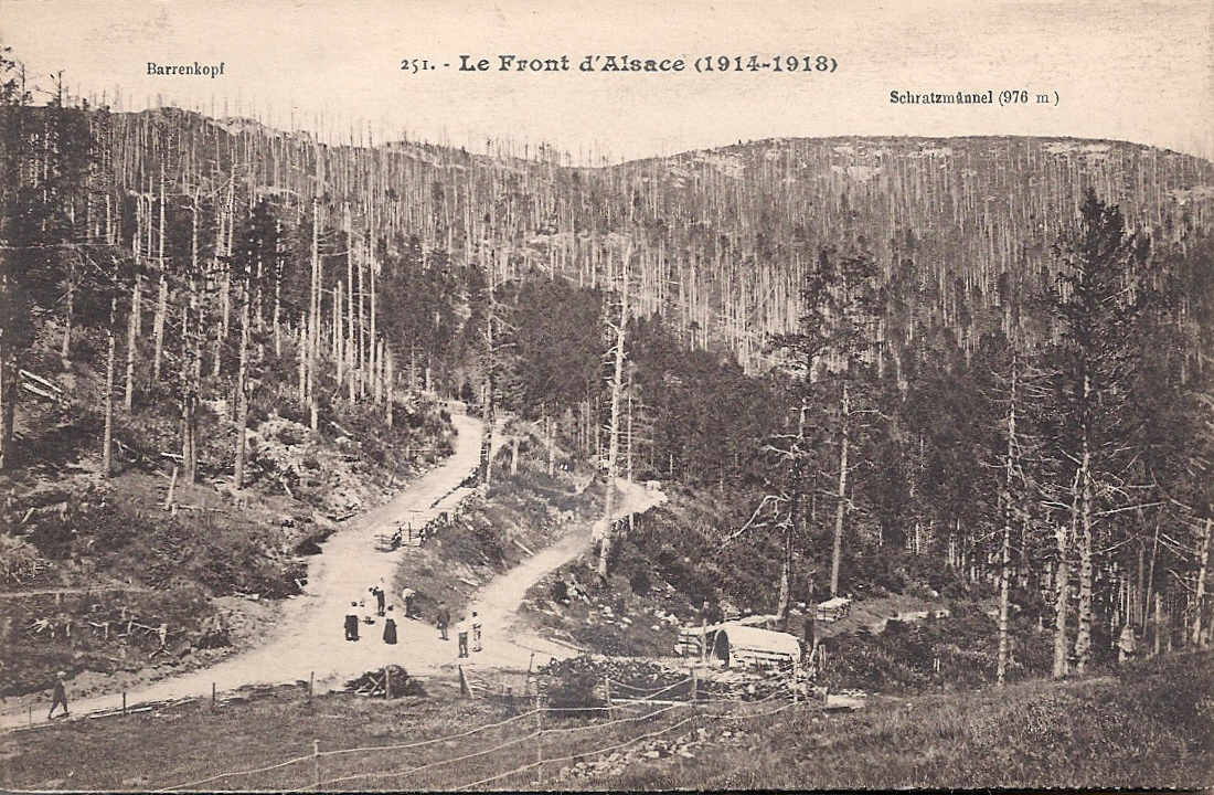
Le Linge
A selection of images showing le Linge during and after the Great War. It was, obviously, a place of pilgrimage and reflection for those who had lost loved ones or friends there, or who had experienced the hell themselves.


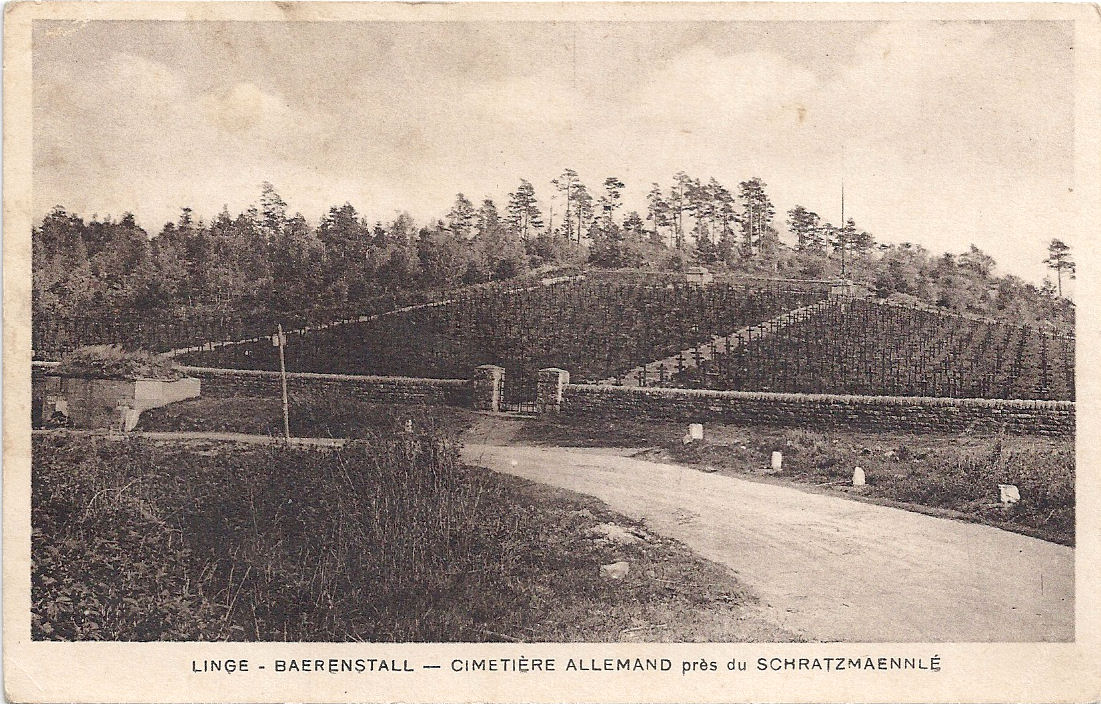
The German dead are buried in their military cemetery, Hohrod. The bunker outside the walls is still there, adjacent to the road.


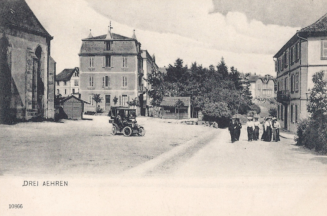
Trois-Épis
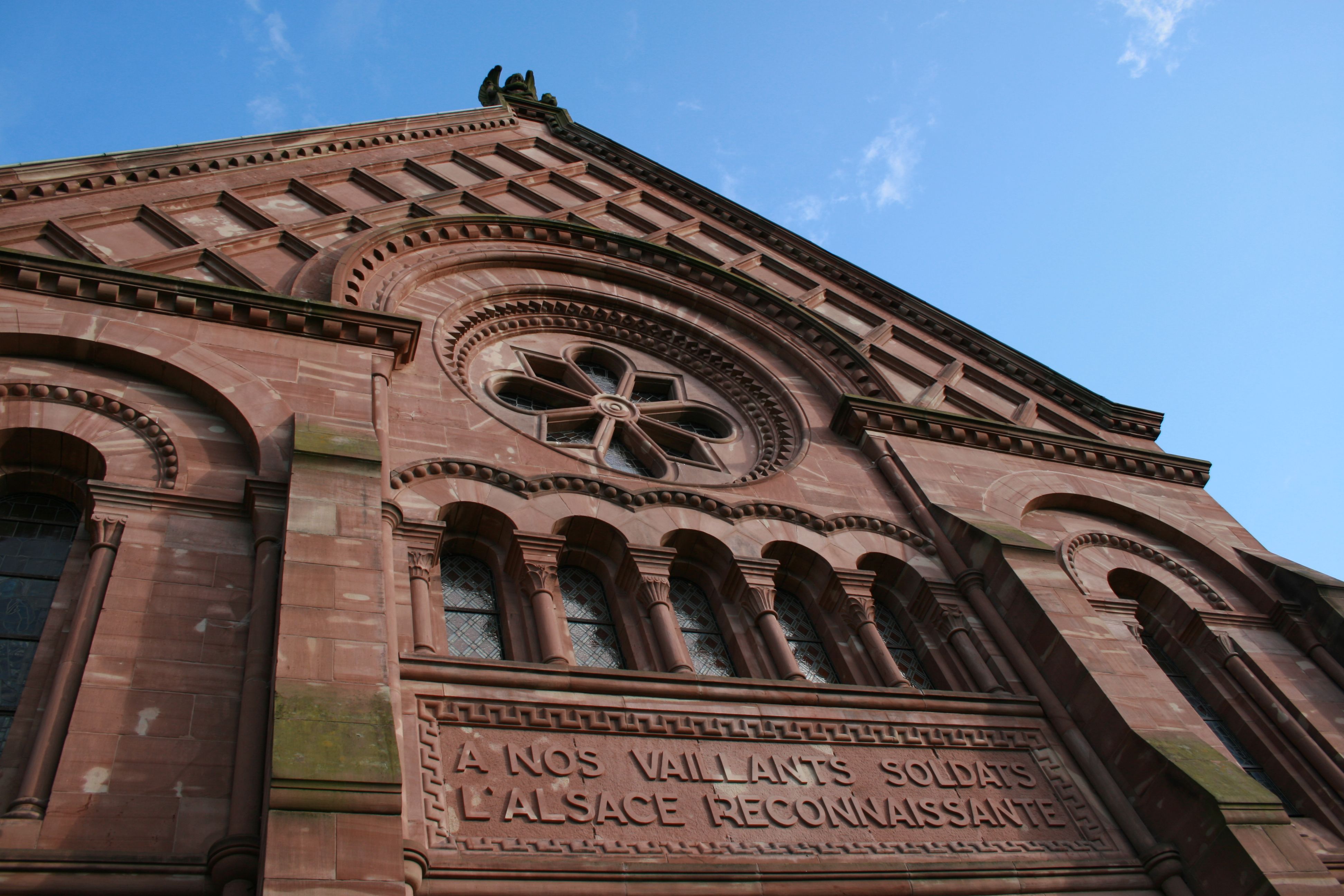
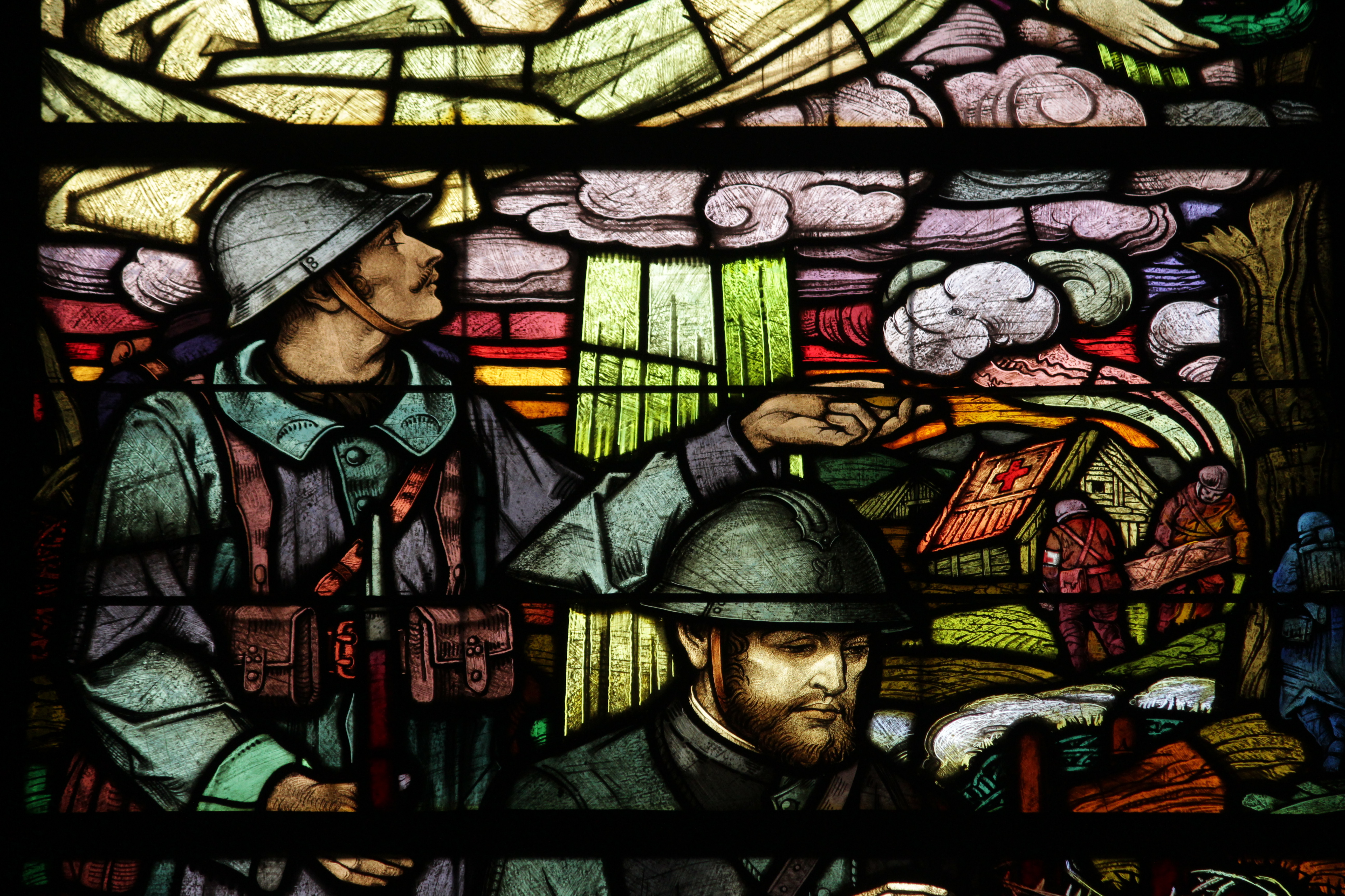
The town before the Great War while under German occupation, labelled with its German name Drei Ähren. There is now a rather special German military cemetery in the town. Its headstones have been replaced with modern crosses and wild flowers dominate the grounds.


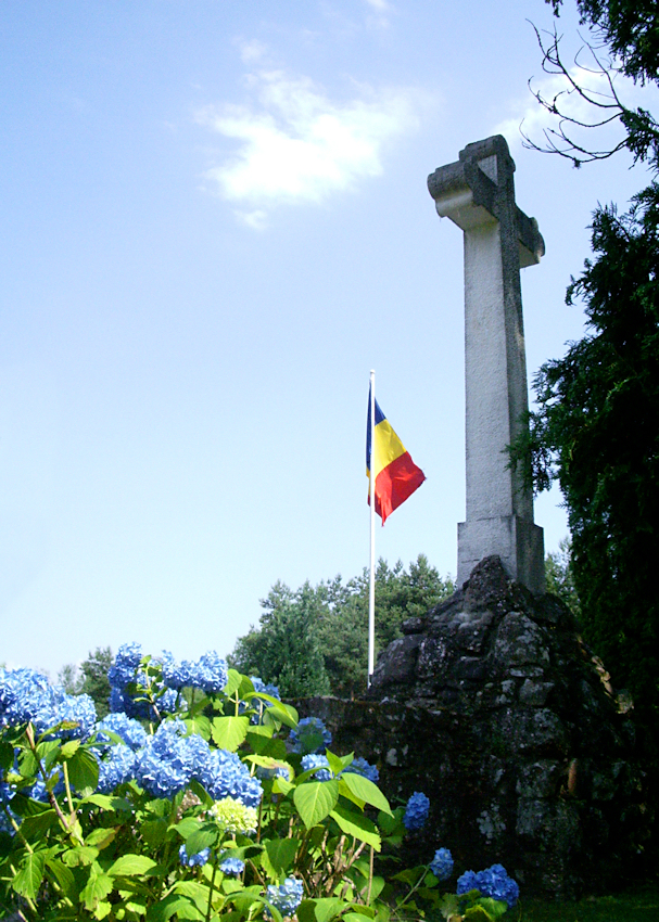
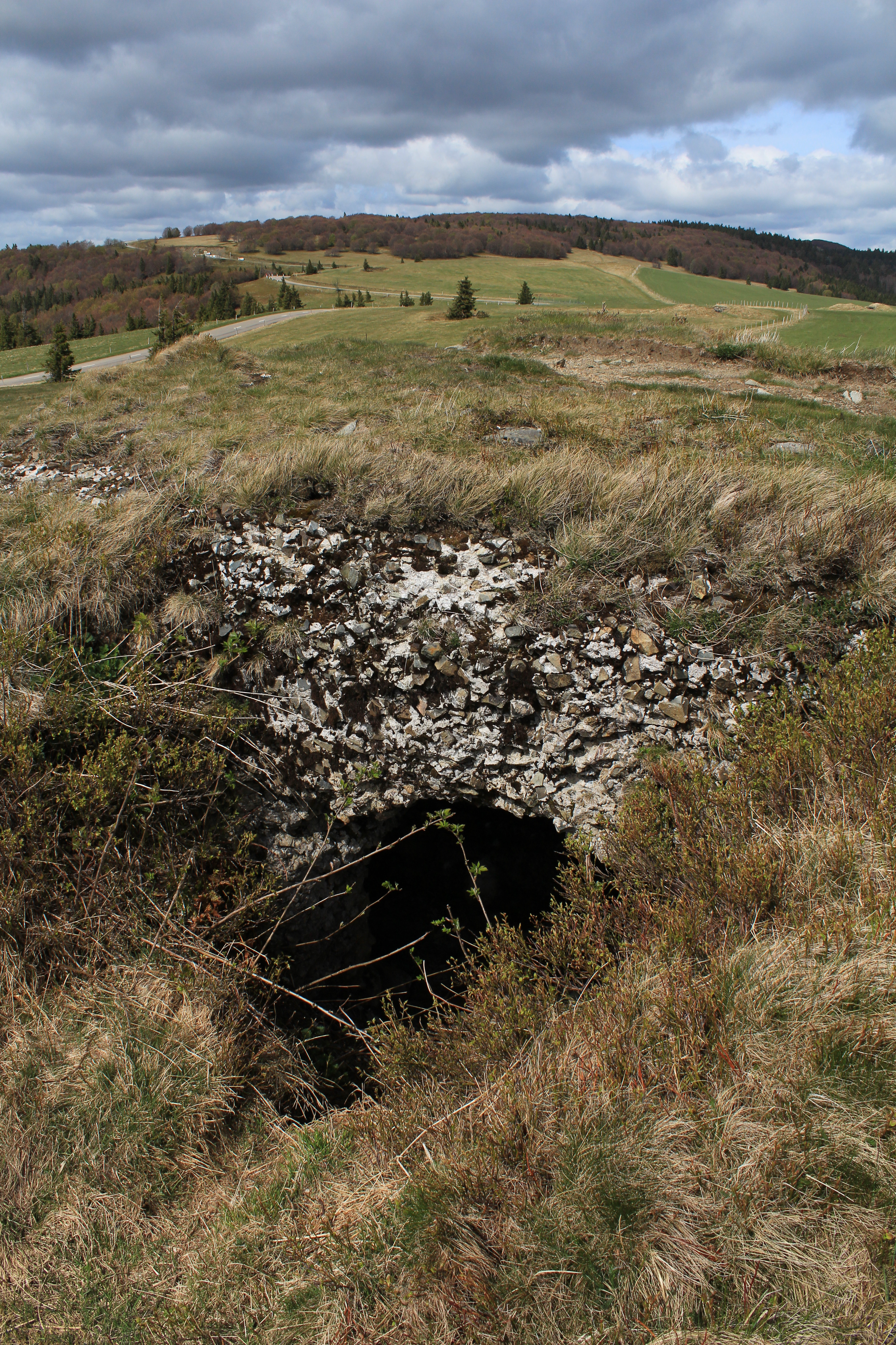
Le Markstein (1183 m) – vestiges of the Great War can easily be seen from the Route des Crêtes, established by Joffre for the efficient movement of troops and supplies. My photo shows how close these vestiges are to the Route des Crêtes (they are best seen in spring before the vegetation has grown back).

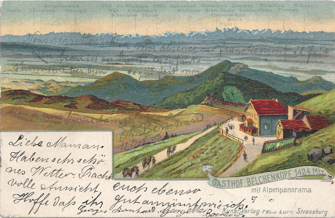
Grand Ballon (1336m)
Postcard posted 1903 written in both German (the language of Alsace in occupation) and French, which was discouraged.

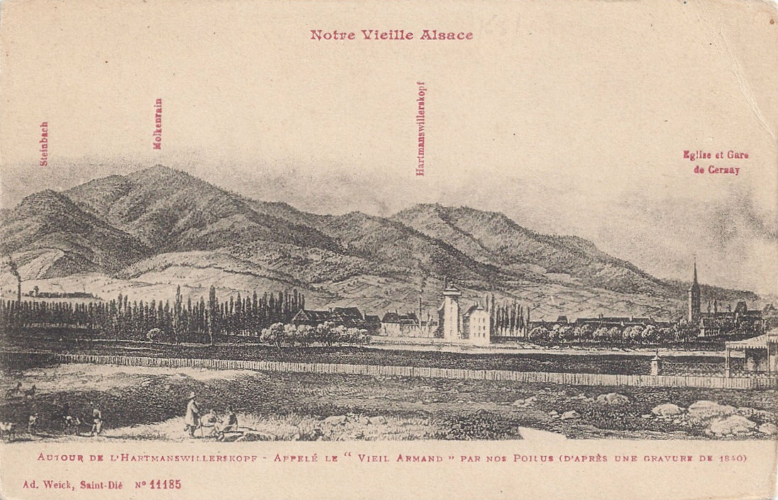
Uffholtz, Cernay
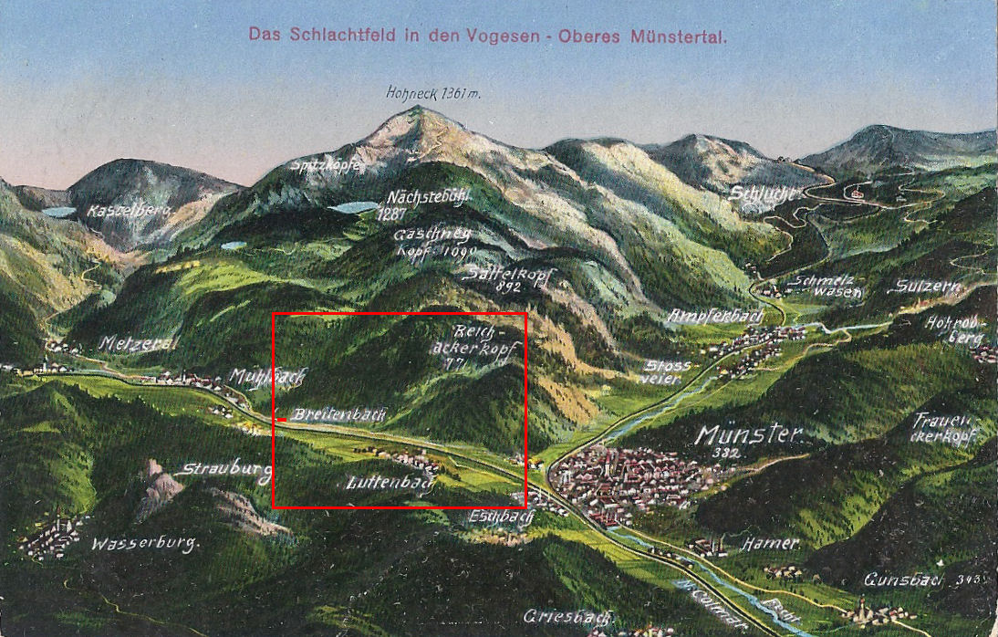
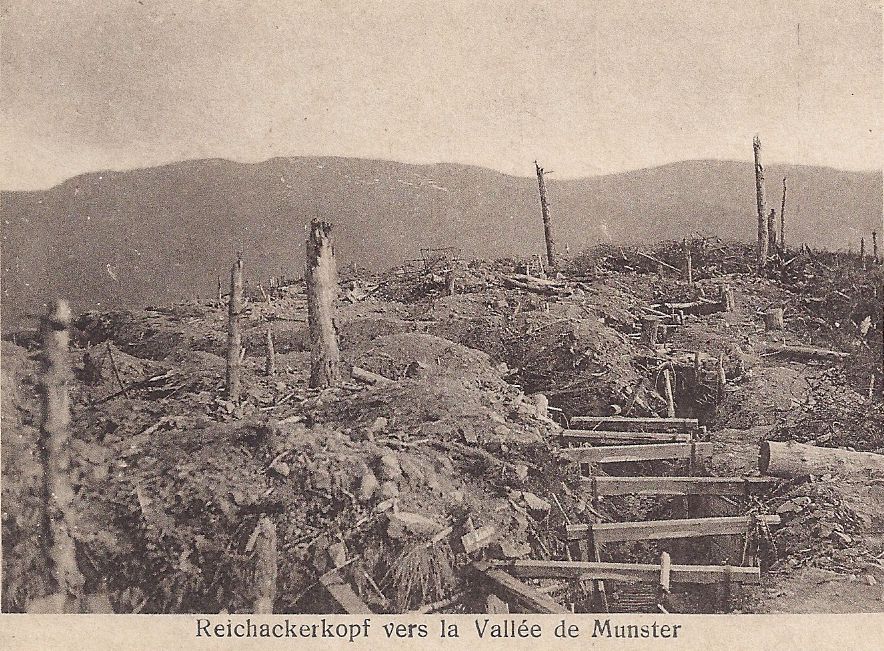
This is the area of Hartmannswillerkopf / le Vieil Armand, the strategically vital mountain which gave views over and control of the Rhine Valley, bitterly fought over in 1915.


Next: Tour de France Stage 10 July 14th, 2014
Please explore the index of my blog for more pieces about this lovely region before the Great War!
All postcards and photographs are my own.

 Near the summit (my photo)
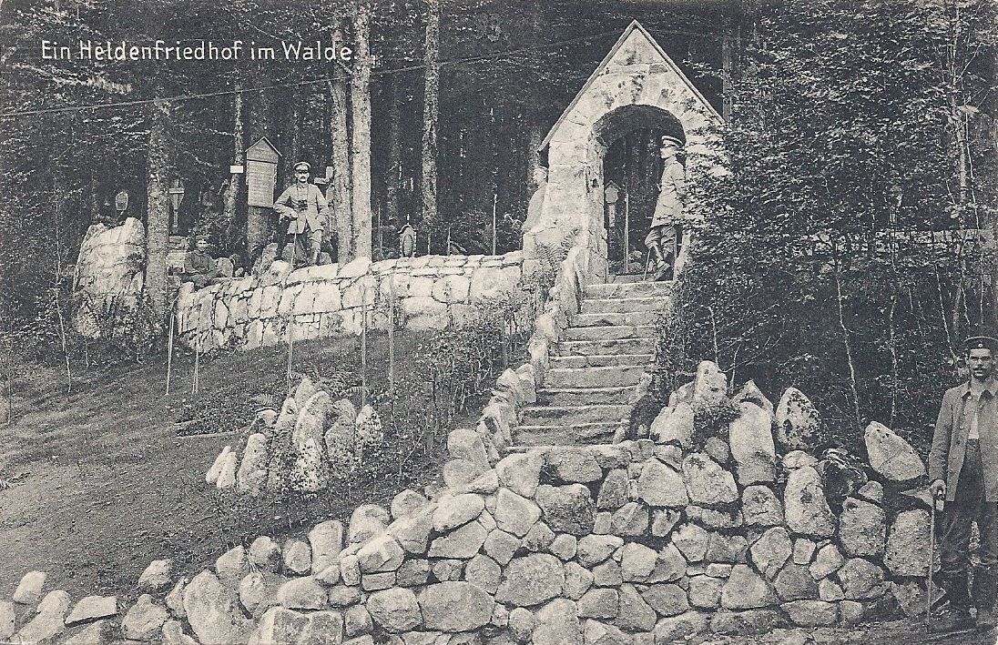 Hexenweiher (my postcard)