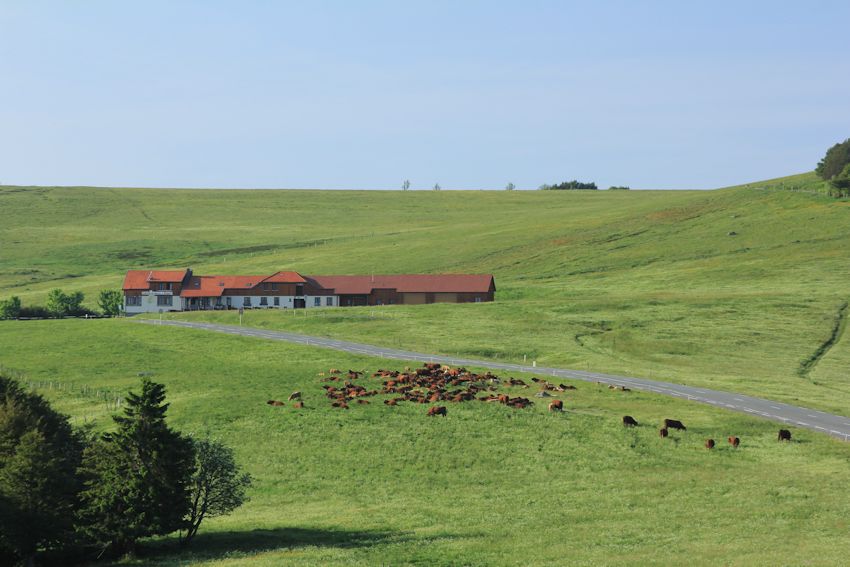
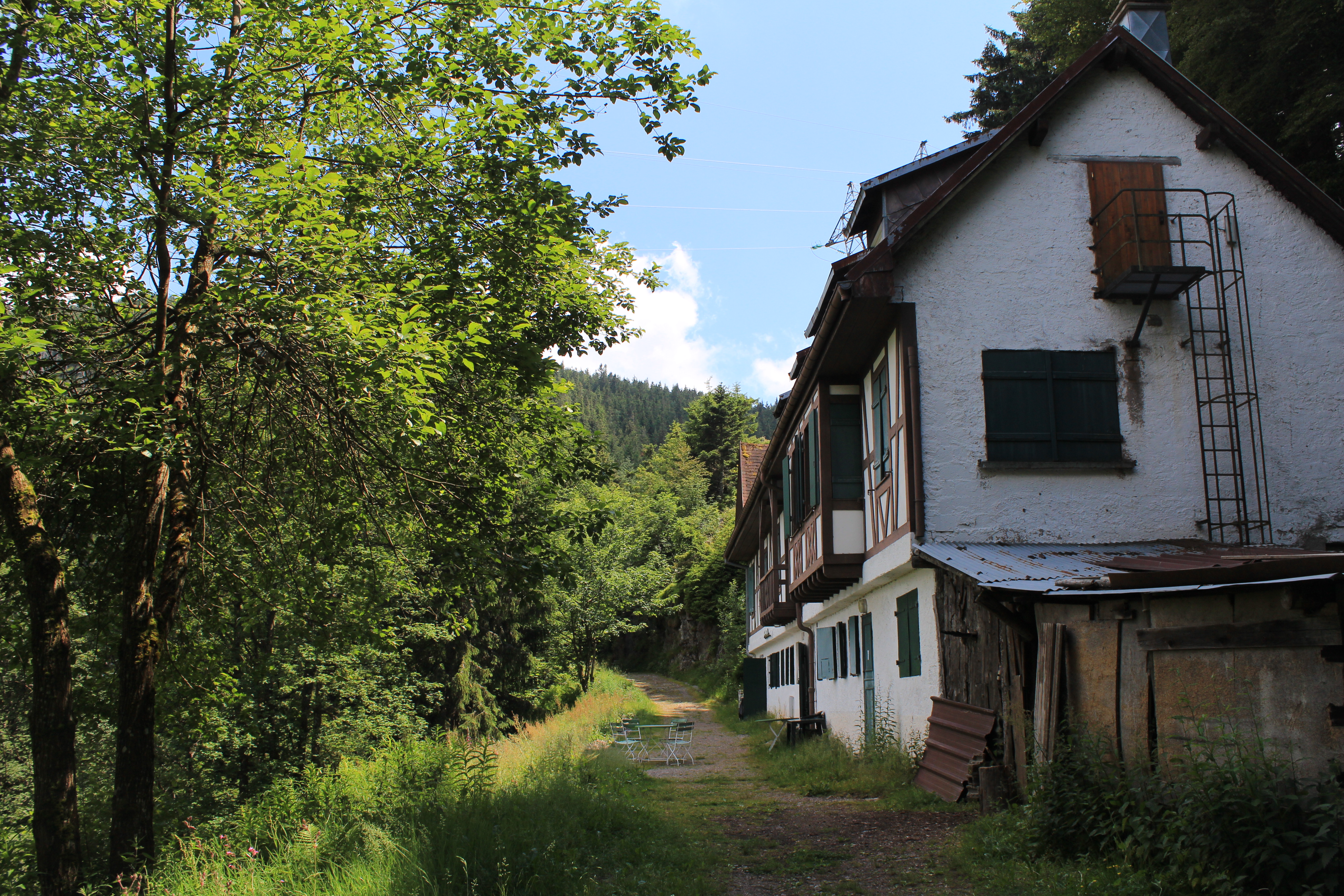
The main road between Thann and Remiremont passes the tranquil, natural lake of the See d’Urbès, where you can walk round the water’s edge and watch dragonflies darting among the marshes. You can take the little road to peaceful Storckensohn, walk past the pretty Alsacien houses and pause by the old oil mill, a watermill. I imagine that visitors from a century ago would have seen a similar scene.
 – Storckensohn. Timeless –
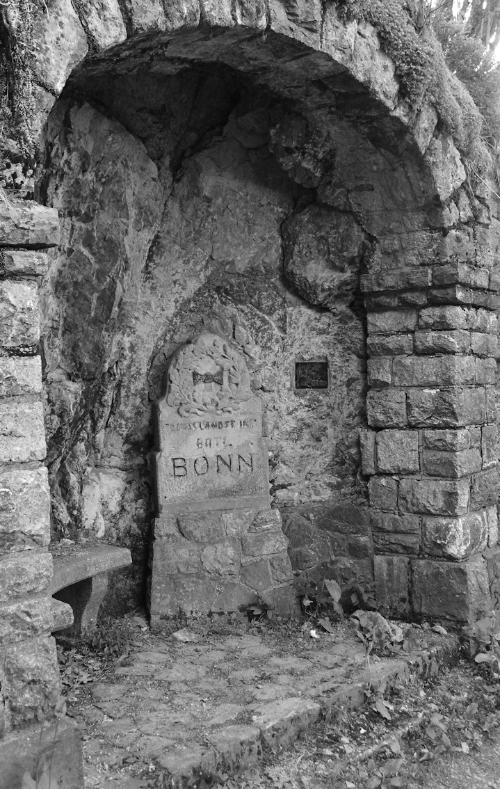
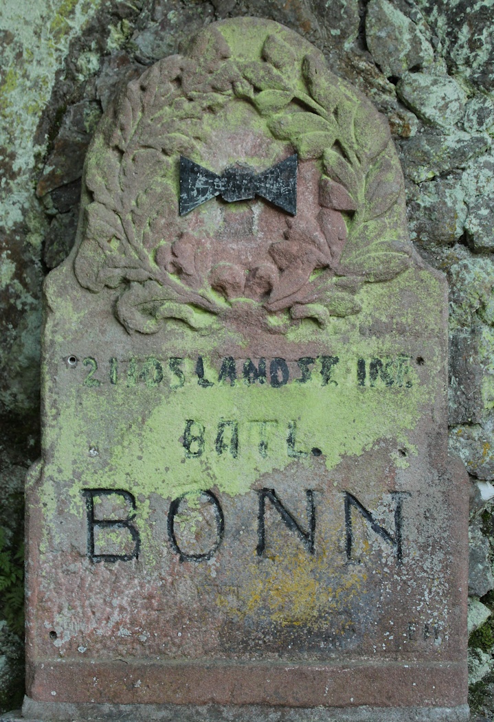
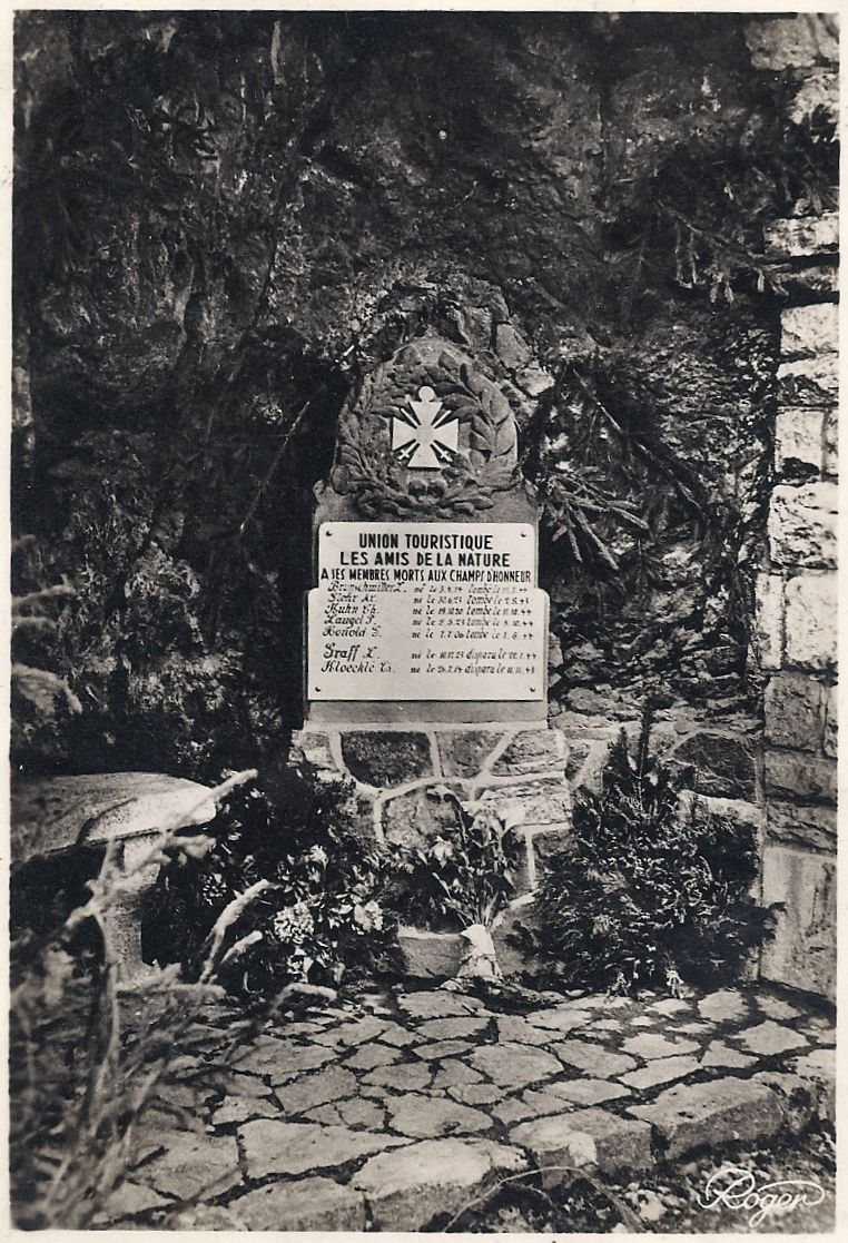
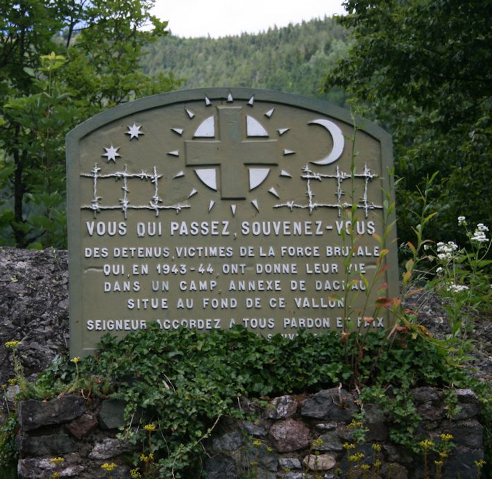
Then you can return to the main N66 and begin the winding climb to the Col de Bussang. You pass the memorial to those whose lives ended in the Dachau satellite camp at the foot of Vallon. (It was also administratively connected to the concentration camp at Natzweiler-Struthof, 50 km SE of Strasbourg.) In 1944, the Germans requisitioned a partly complete early rail tunnel to the west of Urbès for an arms factory under the Daimler-Benz umbrella, in a scheme which was code-named KRANISCH-10. Two thousand prisoners and deportees, arriving in waves, were employed in atrocious conditions there between March and September 1944. A current project (2012-2016) aims to provide a memorial to those who worked and died there, with interpretation panels, a trail, a rose bed and art works by young people.*
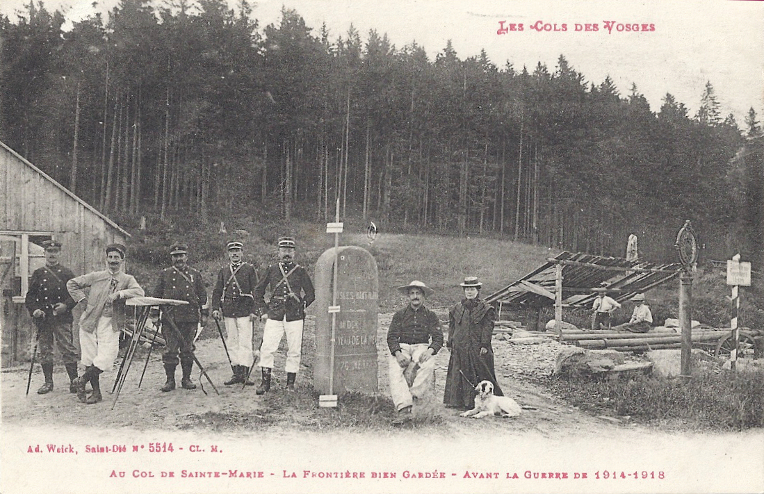
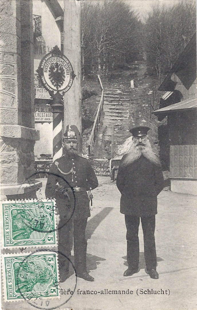
The N66 is a fast, winding road and I imagine that many drivers keen to finish the steep climb to the Col du Bussang (731m) are completely unaware that just to the north of the summit (the col) there is a tunnel through the hillside. It replaced an important road which passed above the site where the tunnel was constructed. The sign over the French entrance to the tunnel was specific: Limite de territoire français 155m de l’origine de tunnel. Shortly after entering the tunnel, the traveller was entering German territory.
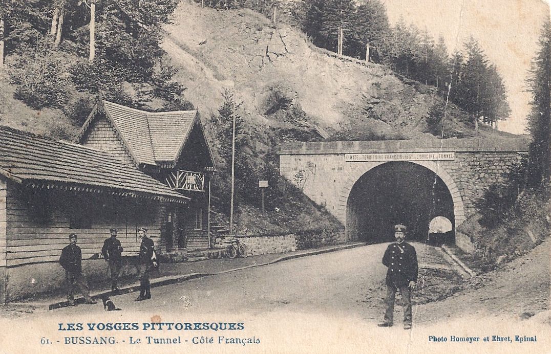
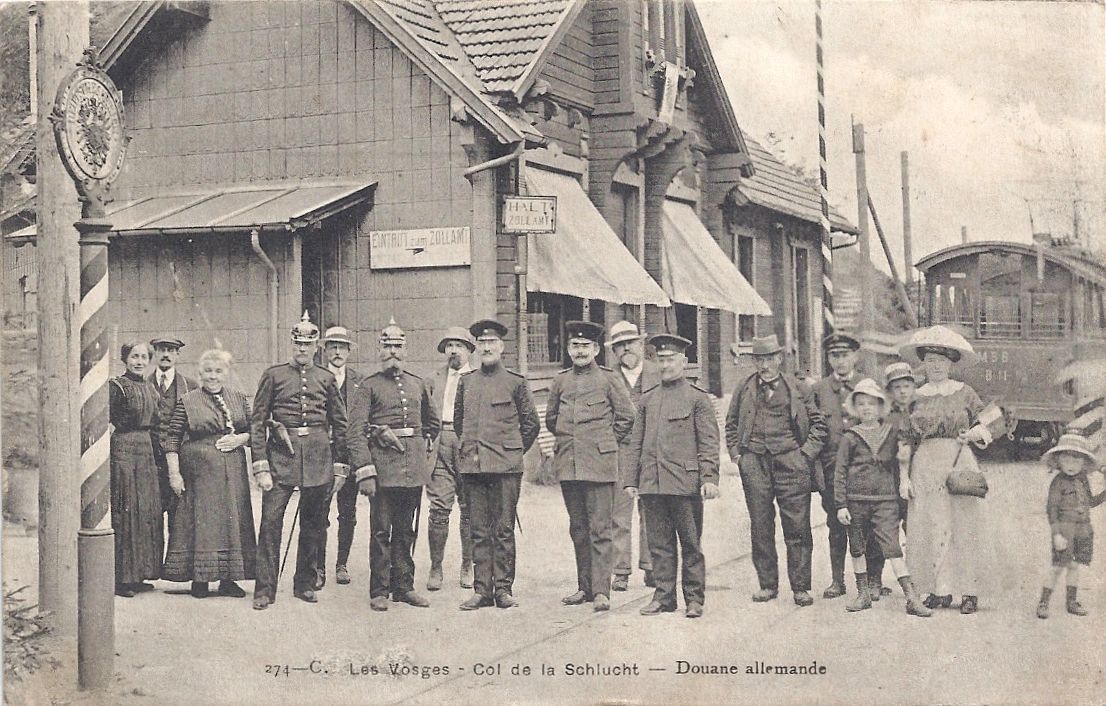
Customs and security on the other side of the tunnel were markedly different from that on the French side, in the officials’ uniforms and the language.
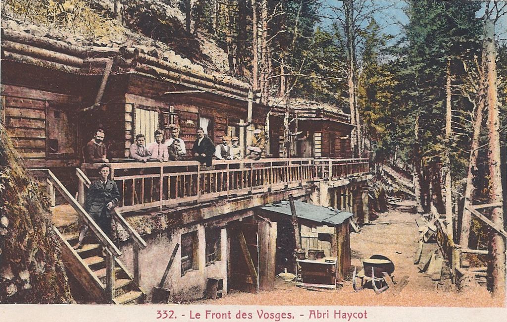
 Wirtschaft zum Tunnel
The tunnel was a great draw for tourists and travellers. The café was, I believe, Café Murat and postcards dated after the Great War show that ‘Wirtschaft zum Tunnel’ was promptly obliterated and replaced with ‘Café du tunnel’.
 Café du Tunnel
The entrance to the tunnel is still visible from the former German side (the Urbès side), but I have not been able to see any evidence of the former French entrance (the Bussang side). However, you can see the source of the great river Moselle (Mosel) as it trickles out of the hillside. (Take the D89, route des Sources, not avenue des Sources, and after passing the turning up the hill to Drumont there is a small picnic area at the source.)
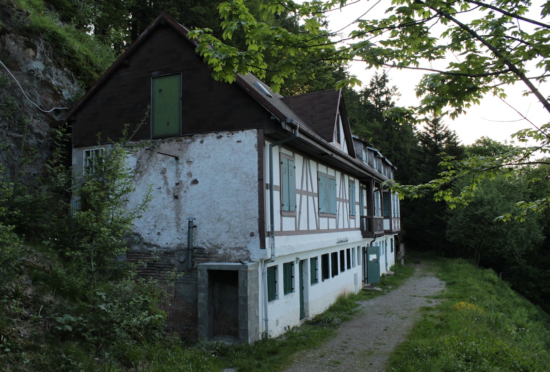
 (Former German side. Tunnel to the left of the picture. Modern hotel.)
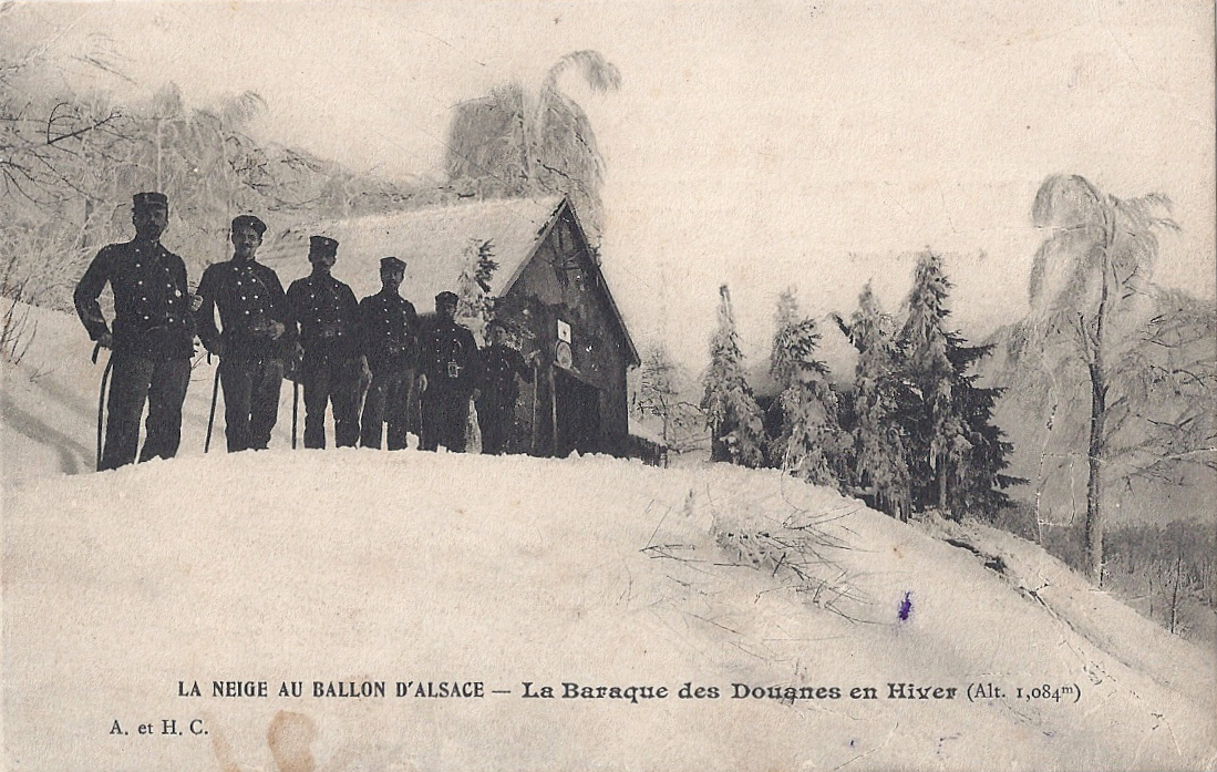
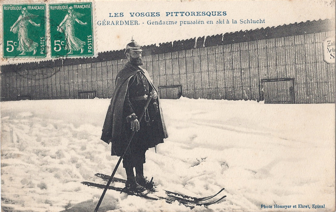
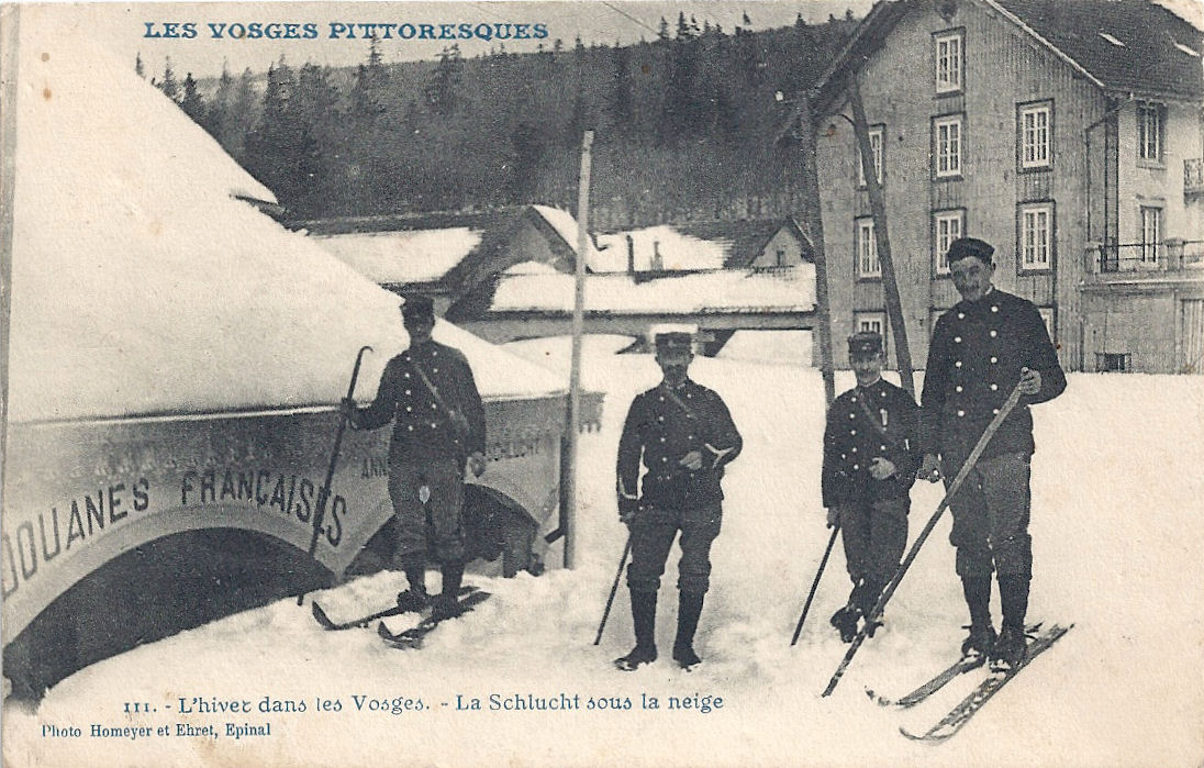
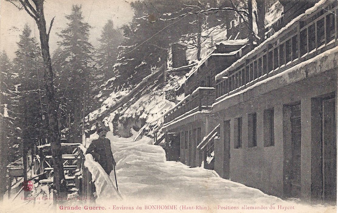
These two cards demonstrate the difficulties of travelling through the Vosges in winter. Both show the French side of the frontier and the customs officials are visible in each. (The stamped card was posted in Wesserling, Alsace, German territory at that time, hence the German stamp.) The small chalet nearest the camera was built by Touring-Club.


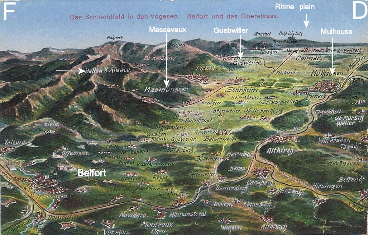
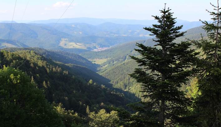
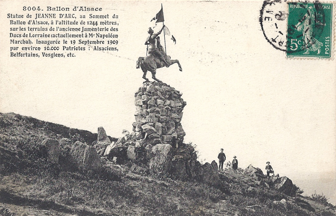
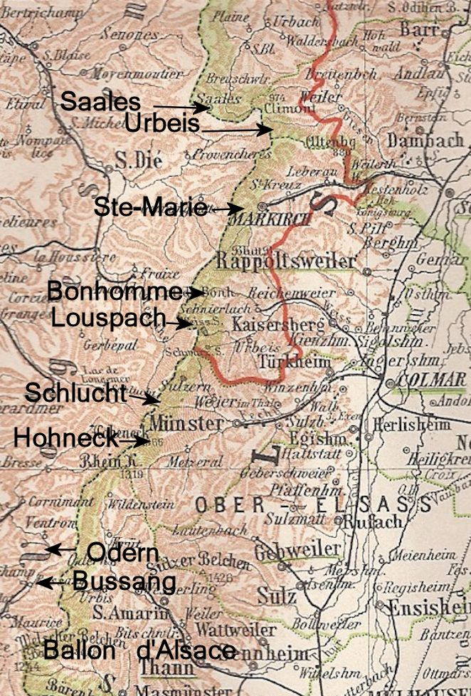
The N66 remains an important road under pressure. In earlier centuries the route was vital for the defence of France and the movement of troops through the Vosges towards the Swiss border; now trucks are its significant load. The fast road is worth using briefly for the natural beauty on either side of the Col: from St-Maurice you can pick up the steep route to the Ballon d’Alsace , or it’s pleasant to linger in the tranquil nature reserves and lakes near Urbès and Kruth.

All postcards and photographs are my own.
• For more information please see http://www.struthof.fr/fr/nos-partenaires/memoriaux-des-camps-annexes/ and click on le Kommando Urbès. Also see http://www.lieux-insolites.fr/alsace/urbes/urbes.htm